Skip to content
Satellite Remote Sensing
Although satellite remote sensing has been used to study air pollution events since the 1970s, most quantitative studies began after the launch of NASA’s Terra satellite in December 1999. Currently the most widely used aerosol sensors include the Moderate Resolution Imaging SpectroRadiometer (MODIS), the Multiangle Imaging Spectro Radiometer (MISR), the Visible Infrared Imaging Radiometer Suite (VIIRS), and the Cloud-Aerosol Lidar and Infrared Pathfinder Satellite Observations (CALIPSO). can readily retrieve is aerosol optical depth (AOD). AOD measures column aerosol extinction and has been widely used in estimating ground level PM2.5 concentrations. Specialty sensors such as MISR can also retrieve particle size (Ångström exponent), sphericity, and single scattering albedo (SSA) under good observing conditions. In addition to using the standard products from NASA and NOAA, our group works closely with the NASA science teams to conduct extensive evaluation of these parameters and develops approaches to improve their quality.
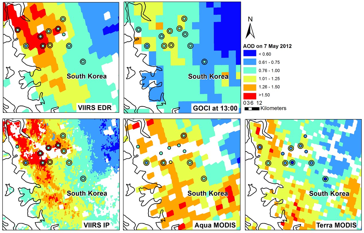
Example: comparison of various AOD retrievals during the DRAGON Asia campaign in May 2012 (Xiao et al. ACP, 2016).

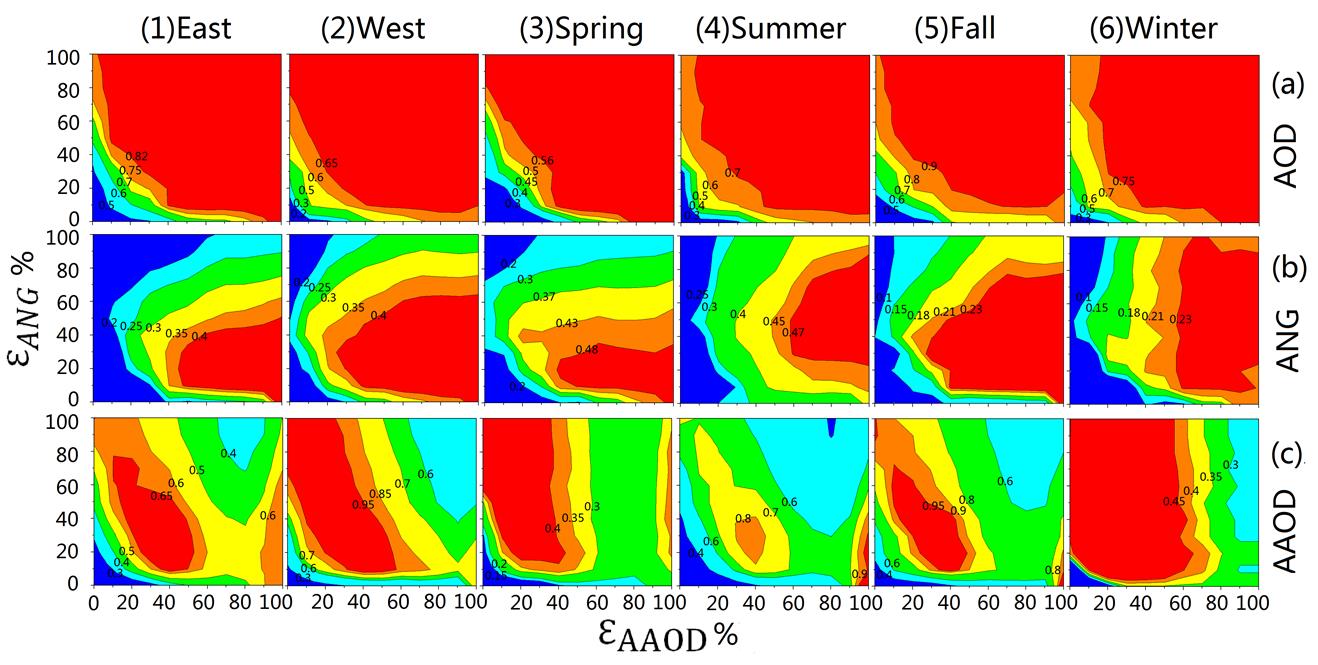
Example: seasonal sensitivity analysis for correlations between adjusted MISR (a) AOD, (b) ANG, (c) AAOD and AERONET by thresholds of ANG and AAOD (Li et al. AMT, 2015).

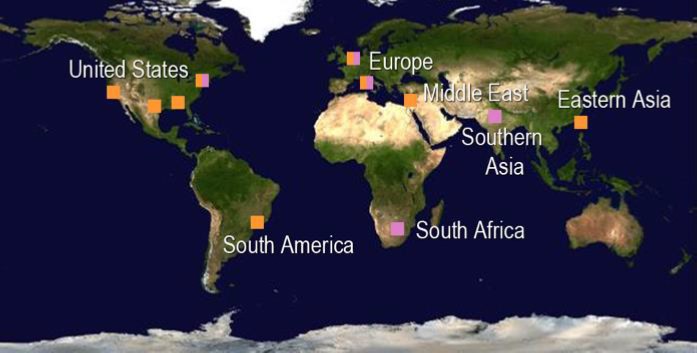
In March 2016, we were selected by NASA to participate in the development of the next generation aerosol sensor, the Multi-Angle Imager for Aerosols (MAIA). The MAIA investigation’s primary objective is to determine the relative toxicity of different PM components and to assess the impacts of particle size and composition on adverse birth outcomes, cardiovascular and respiratory disease, and premature deaths. MAIA’s unique instrument design and innovative data processing software will generate comprehensive information on particle size distribution, shape, and light scattering and absorption properties at 1 km spatial resolution for a set of globally distributed target areas. MAIA will be the world’s first environmental health satellite instrument.


