The Rural Landscapes of Iron Age Imperial Mesopotamia project (RLIIM) seeks to understand how imperial polities of ancient Mesopotamia interacted with the landscape through policies of resource extraction, population resettlement, and centralized infrastructure. So far, the rural hinterlands of the Assyrian Empire have remained largely under-investigated, but have much to reveal about the relationship between Assyrian imperial structure and organic bottom-up growth.
Excavations
Qach Rresh is a rural site founded in the late Neo-Assyrian period, located just 15km south of modern-day Erbil (Iraqi Kurdistan). It was first recorded by the Erbil Plain Archaeological Survey in 2017, and further investigations at the site began in 2021. For what reasons was this site founded? With the first excavation season conducted in Fall 2022, preliminary understandings of the site have begun to explore these questions.


Geophysical Remote Sensing
Magnetometry conducted at Qach Rresh beginning in 2021 has revealed a wealth of unexpected structures, including the remains of several well-preserved buildings with separate rooms, possibly used for centralized storage of agricultural produce. The results also showed probable domestic areas, along with several streets and other structures. This data is critical to the success of the excavations and our wider understanding of the site’s layout as a whole.
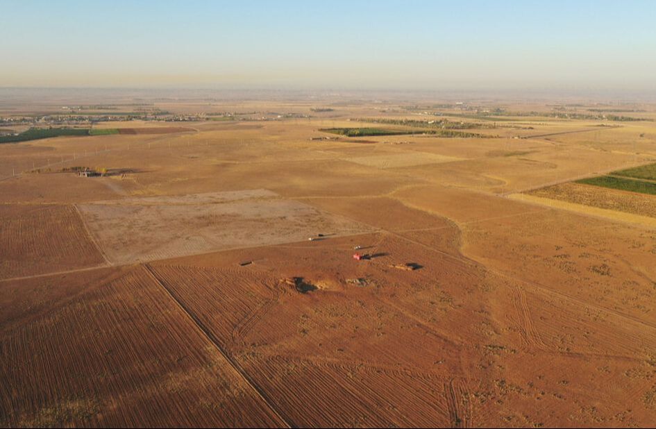
Landscape Context
One of the main goals of this project is to understand how the Assyrian Empire utilized rural spaces, and to what extent this was a centralized program of building and infrastructure. Qach Rresh is the first rural site to be excavated in the Assyrian heartland, serving as some of our best information for Assyrian rural life and how that changed after the collapse of the empire during the post-Assyrian period. The results will not only help us to understand more about Assyrian settlements as a whole, but also agricultural practices and population organization in imperial spaces – and how resilient systems those were.