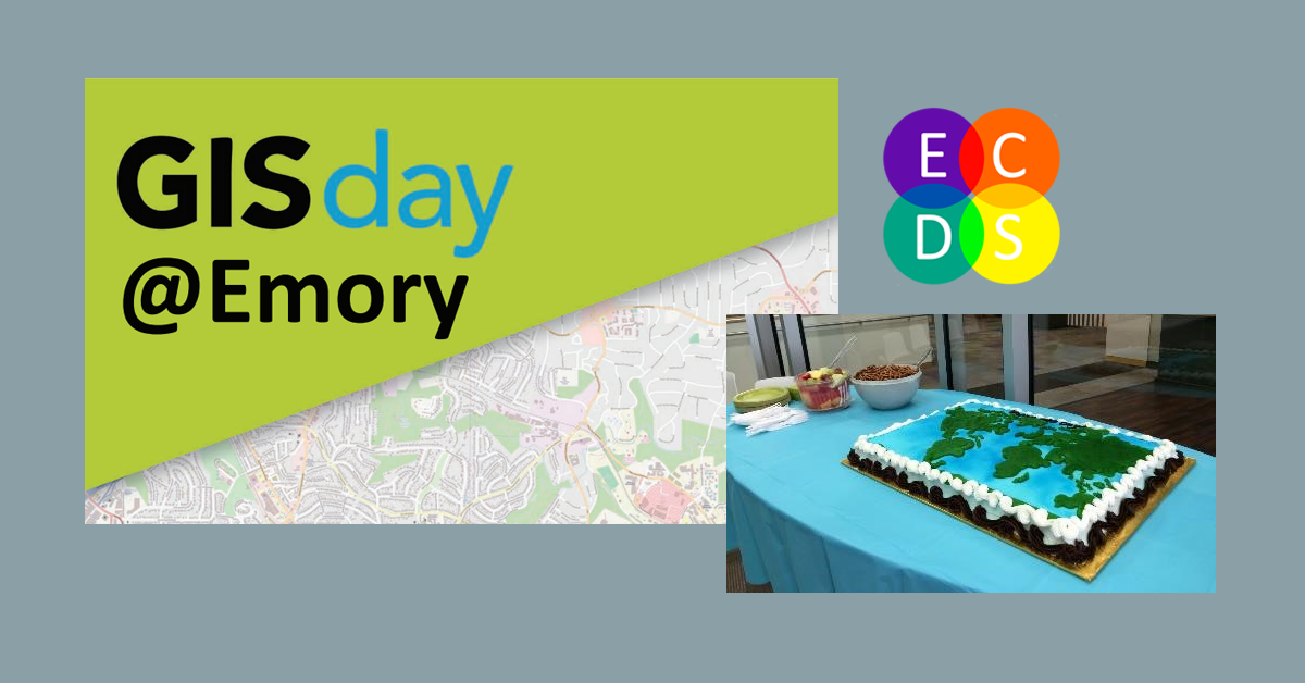
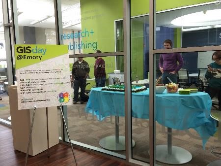
On Wednesday, November 19, the Emory Center for Digital Scholarship (ECDS) hosted GIS Day @ Emory, our inaugural GIS Day event. GIS Day is an international celebration that happens each November during Geography Awareness Week to celebrate Geographic Information Systems, or GIS, which involves visualizing and analyzing spatial data on maps. GIS allows researchers to look at data in new ways and gain new insights that would perhaps not be apparent if only working with text and tabular data. GIS Day events are held all over the world by organizations who use GIS, from universities to federal agencies to city planning departments. Emory’s event was a time for current users and those curious about GIS and geography to come together and learn about the benefits of GIS, showcase projects, learn about tools, and network with others who share these interests.
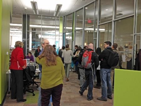
Emory is seeing increased interest in GIS across disciplines from the social sciences, health sciences, humanities, and more. Approximately 80 students, faculty, and staff from over 20 departments attended this year’s event.
 |
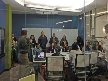 |
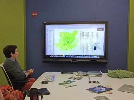
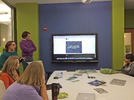
GIS Day @ Emory featured 5-minute lightening talks about ongoing GIS projects at Emory from one undergraduate and four graduate students from Biology, History, The Institute of the Liberal Arts, Religion, and Public Health.
 |
 |
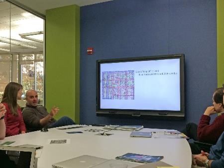
| Lucas Buyon, Mapping the Spread of Meningitis | Ed Hatfield and Sarah Melton, Atlanta Studies and Digital Mapping |
 |
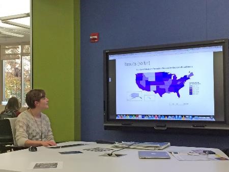 |
| Matthew Pierce, “Sunday-go-to-meeting”: GIS and Church Membership in Atlanta 1928 | Laurel Broten, A Geographic Analysis of Medicare Preventive Services |
We also watched some short videos about GIS projects outside of Emory. In addition to hearing about uses of GIS, attendees had the opportunity to participate in hands-on workshops using two web-based mapping tools, CartoDB and Google Fusion Tables.
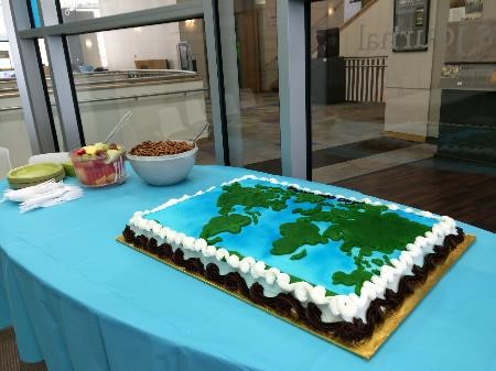
Participants were introduced to see the ECDS space and had the chance to learn about our ongoing research and projects and about the resources available here to support spatial research and teaching. In addition to the more structured parts of the event, there was time for chatting with fellow GIS enthusiasts, geography games, and partaking in the GIS Day cake.
 |
 |
For more information on geospatial resources and support available through the ECDS, or to schedule a consultation with a GIS librarian, visit us on the 3rd floor of Woodruff Library or online at http://digitalscholarship.emory.edu. To get connected with Emory’s GIS user community, subscribe to the GIS-L listserv, and to keep up with events at the ECDS, please email ecds [at] emory [dot] edu to be added to our listserv.
Thanks to everyone for a great first GIS Day @ Emory, and I hope you can join us next year!
Megan Slemons is the Research Library Fellow for Geospatial Services in the Emory Center for Digital Scholarship.