Conveying a sense of place can be challenging in a place like Atlanta, where development is constantly changing landscapes and landmarks, but the ATLMaps digital platform is providing new perspectives on the city’s urban history that can help researchers, planners, and neighbors alike.
The open source platform, developed by the Emory Center for Digital Scholarship (ECDS) in partnership with Georgia State University, allows users to view thousands of the region’s historical maps and data layers alongside modern-day maps. This project, associated with the Atlanta Studies Network, pulls together maps from separate library collections to access in one place online and currently includes materials from Emory, Georgia State, and Kennesaw State universities, as well as public radio station WABE.
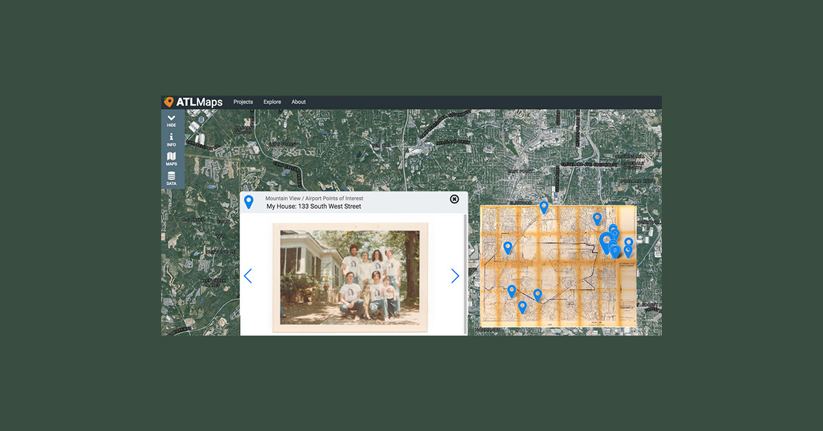
Hannah Palmer, author of the recently released book, Flight Path: A Search for Roots beneath the World’s Busiest Airport, has used the platform in her research and talks about it in a featured project on the ATLMaps site. “You need to be able to see the ‘before’ and ‘after’ to get a sense of the story and the scale of displacement,” Palmer explains in the project video.
Materials are posted to the platform with rich data sets, offering users the ability to view specific locations’ changes over time and demographic information for a deeper understanding of the archival materials.
The development team recently unveiled new features including the ability for members of the public to create individual user accounts. Additional functionality in the works would allow members of the public to submit data to be considered for the public collection and permit individual users to upload their own data for private projects.
The Digital Library Federation (DLF) recently highlighted ATLMaps at its annual forum. ECDS team members Megan Slemons and Jay Varner and Georgia State’s Joe Hurley were invited to participate on a panel about the creation of data-rich map collections and applications at university libraries, entitled “Navigating the Past: Interactive mapping platforms to explore the factors that have shaped our cities.”
ECDS invites Emory faculty, students, and staff to learn more about ATLMaps features at this year’s GIS Day event on Nov. 15.