Another spectacular GIS Day is in the books!

Yesterday – Wednesday, November 14 – we celebrated GIS Day (link: https://www.gisday.com/) 2018 in the ECDS. Students, faculty, staff, and community members joined in to learn about the ways geographic information systems and geospatial technologies are used in research and teaching at Emory.
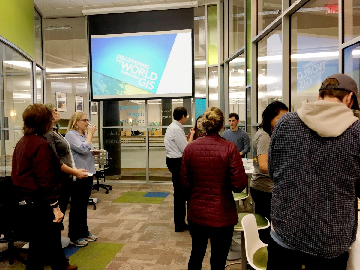
We learned about applications of spatial analysis in the field of Public Health, gained experience creating an online Story Map (link: https://storymaps.arcgis.com/en/) to visually share spatial information combined with multimedia and text, and heard about some of the GIS resources available at Emory.
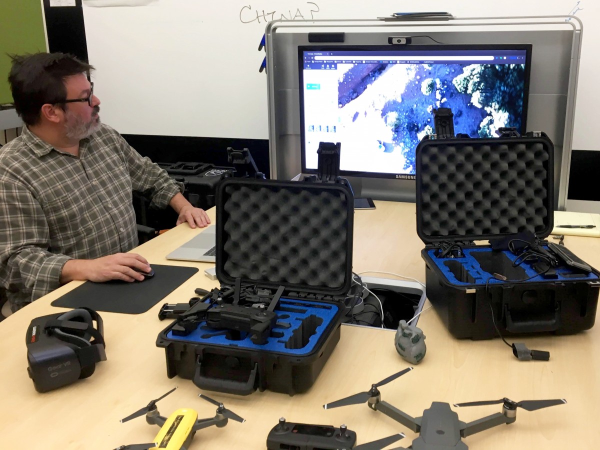
We finished with a rare up-close look at of some cool geospatial technology – including drones, VR/AR equipment, and 3D models – with examples of how they are being used by Emory scholars.

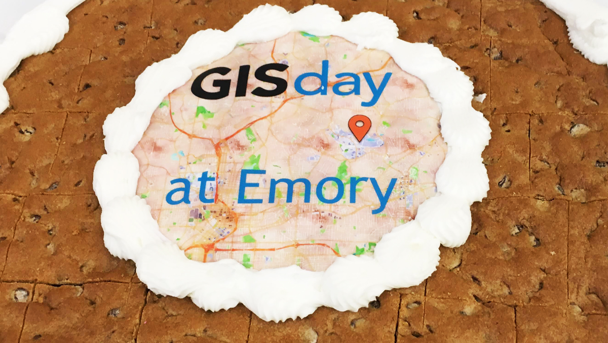
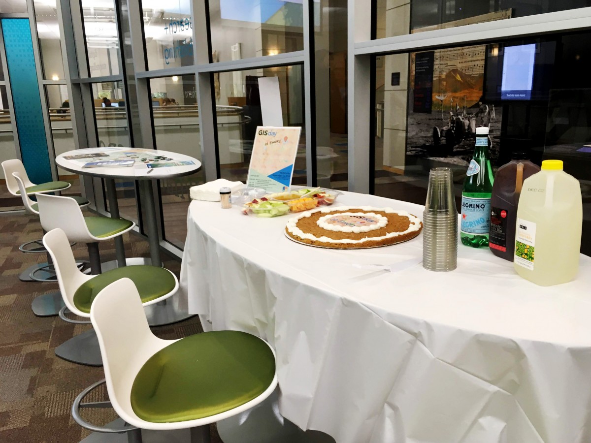
The GIS Day cake was a hit as well!
Thank you to all the attendees and presenters for making this year’s event a success!