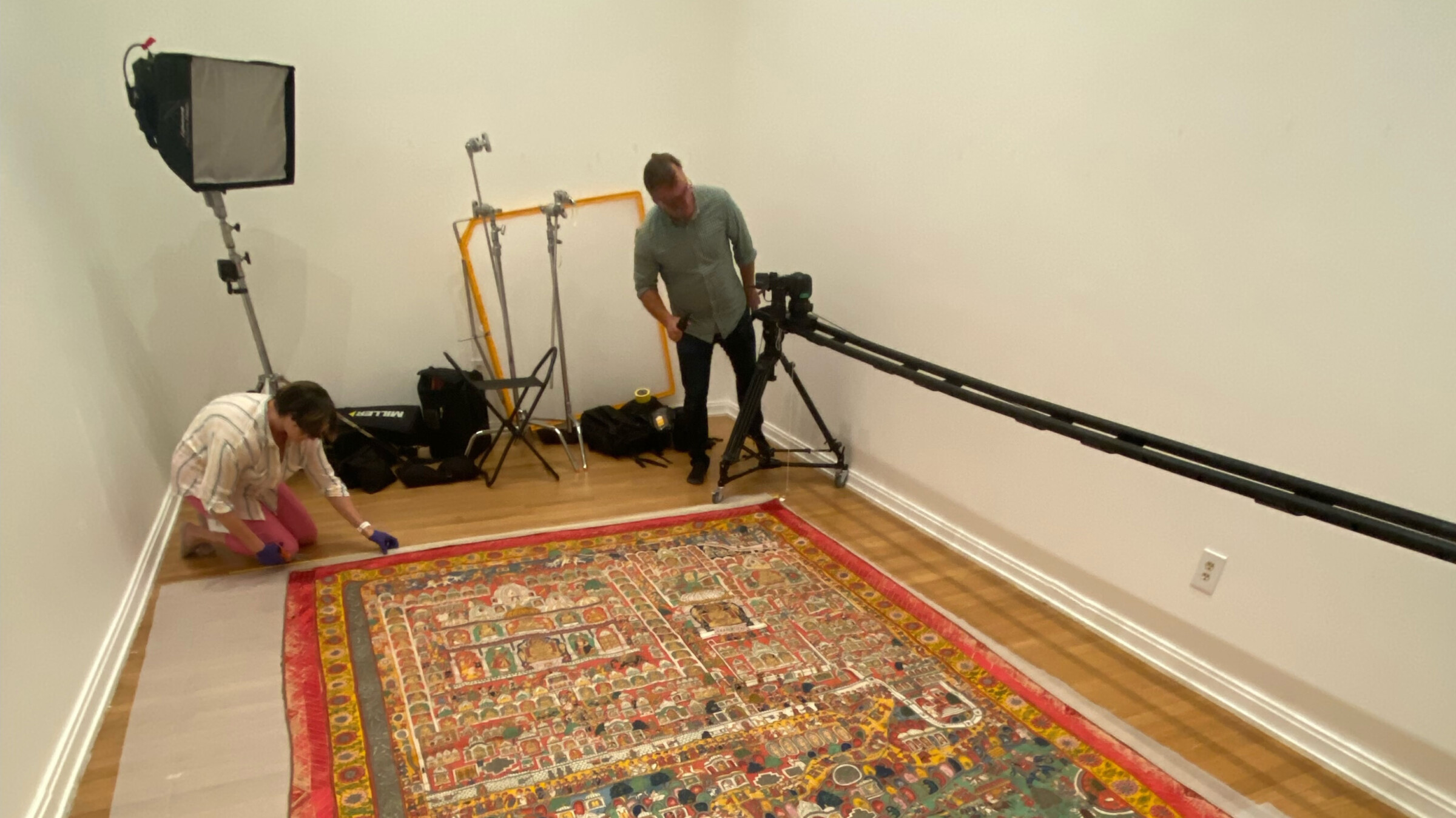
The Conservation Lab at the Michael C. Carlos Museum, in collaboration with Emory’s Center for Digital Scholarship (ECDS), engaged in a project to capture a roughly nine-by-eleven-foot Jain Pilgrimage Map using photogrammetric techniques. A Jain pilgrimage map typically highlights significant religious sites revered by Jains worldwide. These sites hold immense spiritual importance within Jainism, emphasizing non-violence, truth, and asceticism. The maps also help devotees plan and navigate their journeys to these sacred places, facilitating their spiritual quests and acts of devotion within the Jain faith.
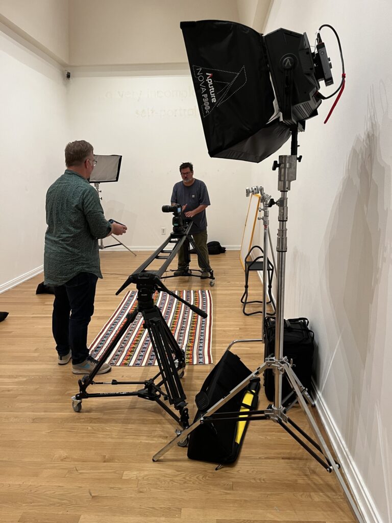
Photogrammetry allows for accurate and detailed 3D reconstructions of physical objects or scenes, enabling analysis, preservation, or visualization without physical manipulation of the original object. It is gaining popularity as a method in cultural heritage preservation and museums. Object photogrammetry is a technique used to create 3D models of physical objects or scenes by capturing multiple photographs from various angles and processing them through specialized software. Steve Bransford and Michael Page of ECDS developed a strategy to photograph the map, which involved fabricating a rail system above the map and systematically capturing over 1,300 highly detailed images weighing over 111 gigabytes of data. Post-processing was done on Adobe Photoshop, Reality Capture, and PTgui images.
The map is to be documented a second time after it undergoes conservation treatment in the coming year, and the result will be high-resolution orthorectified images before and after treatment. With a custom interface developed, the gigapixel images can be overlayed with annotations so they can be explored via a large screen kiosk or with iPads. The Jain Map cannot be displayed continuously, and given its size, it isn’t easy to discern from afar. Therefore, the application will allow students, scholars, and the public to access the visual artifact meaningfully.