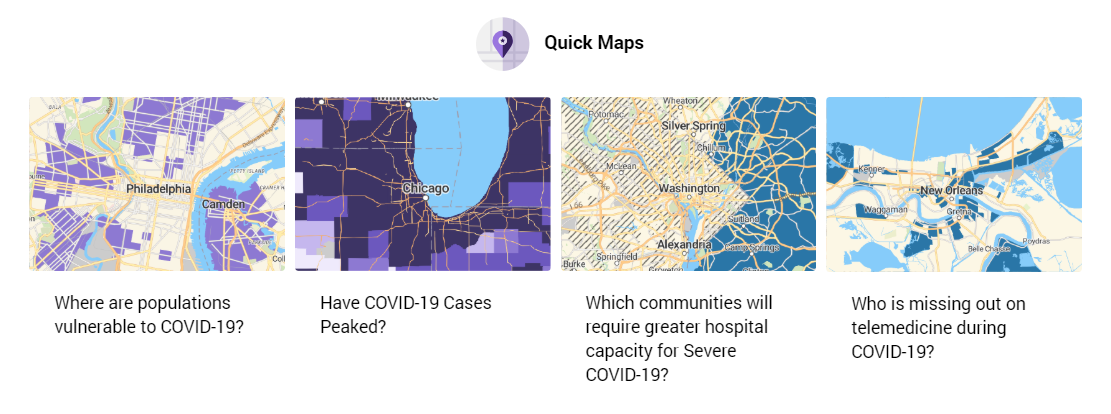
Are you interested in learning more about COVID-19 and how it has impacted certain geographic areas? Check out PolicyMap’s COVID-19 Quick Maps to find out all about risks and spread within various communities, including where vulnerable populations might live. This new public edition (BETA) COVID-19 Quick Maps contains data that addresses underlying health conditions on the neighborhood level as well as broader information on county level cases.
You can get straight to it from the COVID-19 Quick Maps page or learn more about the data and methodology behind Quick Maps.

