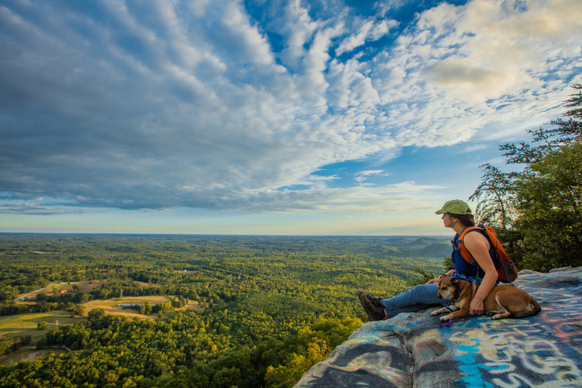
Part of the Blue Ridge Chain of the Appalachian Mountains, Currahee Mountain stands 800 feet above the surrounding area and has deep roots in American history. Not only was it the battle site for Battle of Narrows, also known as Battle of Currahee, where Confederate troops defeated Union troops during the Civil War, but the mountain also served as part of the training grounds during World War II for the American Paratroopers stationed at Camp Toccoa. Today, the mountain struggles with vandalism, especially graffiti, at the lookout points, but concerned citizens have been holding cleanups to restore the mountain.
Likely starting to form in the Proterozoic Era, Currahee Mountain is the result of the northern part of the African Continent colliding with the eastern part of the North American Continent when Pangea was forming. Primarily composed of igneous and metamorphic rock, it is believed that up to fifteen miles of rock from the Appalachians has eroded away. However, Currahee Mountain does not face problems with large-scale erosion, and no current erosion prevention programs are in place. A disturbance to the natural habitat on Currahee Mountain is the placement of communication towers on the top of the mountain. The companies placing the towers promised to not disturb the rare species during installation, however, construction of the towers did result in the disturbance of common species.
Sources:
Camp Toccoa at Currahee. (n.d.). History of Camp Toccoa. https://www.camptoccoaatcurrahee.org/history-of-camp-toccoa
Explore Georgia. (n.d.). Currahee Mountain. https://www.exploregeorgia.org/toccoa/outdoors-nature/trails-tours/currahee-mountain
National Park Service. (n.d.). Convergent Plate Boundaries – Collisional Mountain Ranges. https://www.nps.gov/subjects/geology/plate-tectonics-collisional-mountain-ranges.htm