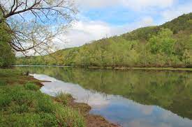
Beginning in Lumpkin County in north Central Georgia, Etowah River runs for 163 miles into Northwest Georgia, eventually splitting off into the Coosa and Oostanaula Rivers in Rome, Georgia. Etowah River is a meandering river, as it has a single, curving channel with few islands within it. The United States Geological Survey determined that Etowah River has an overall Manning roughness coefficient of 0.038, which assess the frictional resistance to flow, and is typical of a river with a sand and gravel bed. Due to its mellow waters, the Etowah River, especially the lower reaches, is popular for paddlers.

Image Source: John Lambert, CC BY-SA 3.0, via Wikimedia Commons
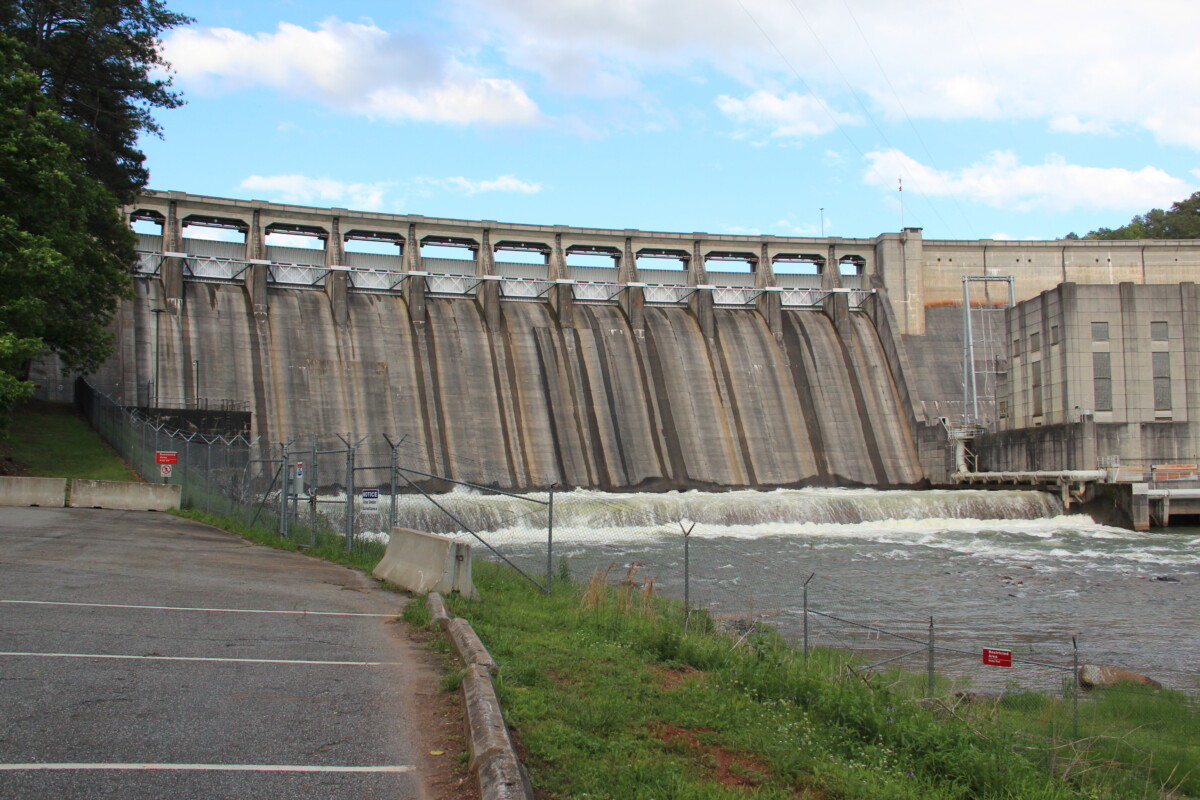
Due to issues with flooding, President Franklin D. Roosevelt passed the Flood Control Act of 1941 and Flood Control Act of 1946, which included building the Allatoona Dam in the Etowah River. An unfortunate consequence of this dam was that the town of Allatoona was flooded and became Allatoona Lake, and during droughts, remnants of the town can still be seen. However, in an assessment of the dam, it is believed to have prevented almost $80 million in flood damages.

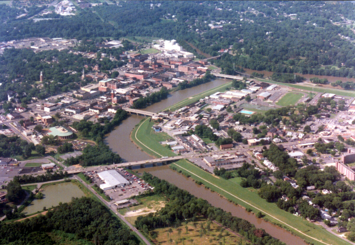
While the river passes through state wildlife management areas, the river also passes through or by several different towns such as Dahlonega, Cumming, and Cartersville. In 2004, a 20-mile section of the Etowah River was noted as impaired waters by the Clean Water Act with the nonpoint source of the pollution believed to be leaking residential septic tanks. While this particular nonpoint source of pollution has been addressed, other pollutants, particularly those associated with the maintenance of lawns and agricultural fields, are not as regulated. Etowah River is home to 76 native fish species but has already lost 15 fish species, mostly due to anthropogenic disturbances, such as water pollution.
Sources:
Barnes Jr., H. H. (1987). Roughness Characteristics of Natural Channels. United States Geological Survey. https://pubs.usgs.gov/wsp/wsp_1849/pdf/wsp_1849_a.pdf
Etowah River. (n.d.). Conserve, Protect, Educate. https://www.etowahriver.org/102-2/
Explore Georgia. (n.d.). Etowah River Water Trail. https://www.exploregeorgia.org/dahlonega/outdoors-nature/trails-tours/etowah-river-water-trail
Georgia River Network. (n.d.). Etowah River Water Trail. https://garivers.org/water-trails-and-paddling/etowah-river-water-trail/
Lake Allatoona. (n.d.). History of Lake Allatoona. https://lakeallatoona.com/about/history
United States Environmental Protection Agency. (2013). Nonpoint Source Program Success Story: Reducing Bacteria in Nonpoint Source Runoff Restores the Etowah River. https://www.epa.gov/sites/default/files/2015-10/documents/ga_etowah-3.pdf