Etowah River

Thomson M, CC BY 3.0, via Wikimedia Commons

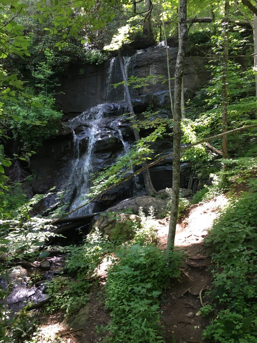
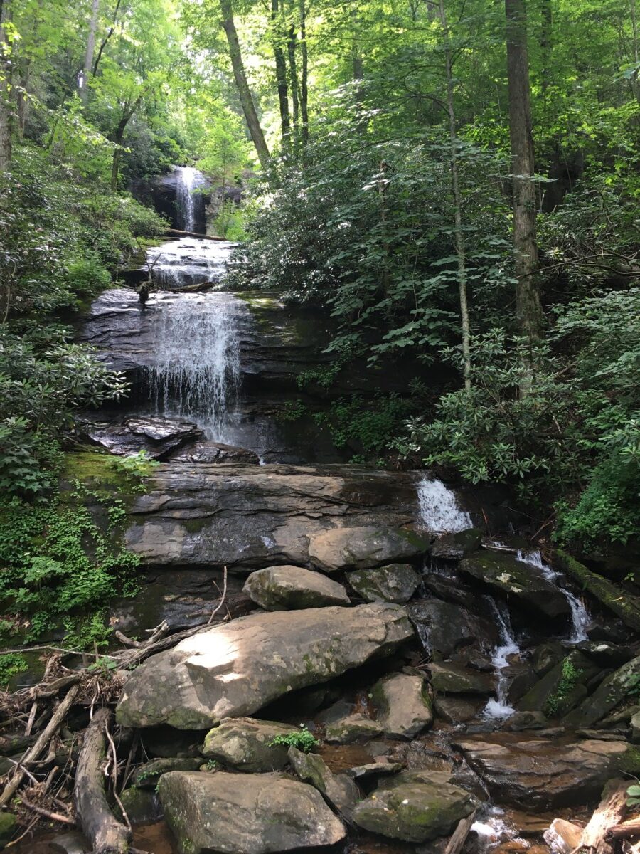
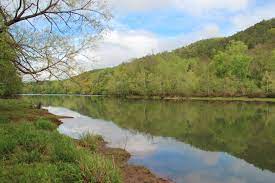
Beginning in Lumpkin County in north Central Georgia, Etowah River runs for 163 miles into Northwest Georgia, eventually splitting off into the Coosa and Oostanaula Rivers in Rome, Georgia. Etowah River is a meandering river, as it has a single, curving channel with few islands within it. The United States Geological Survey determined that Etowah River has an overall Manning roughness coefficient of 0.038, which assess the frictional resistance to flow, and is typical of a river with a sand and gravel bed. Due to its mellow waters, the Etowah River, especially the lower reaches, is popular for paddlers.

Junction of Oostanaula (bottom), Coosa (right), and Etowah (left) in Rome, Georgia
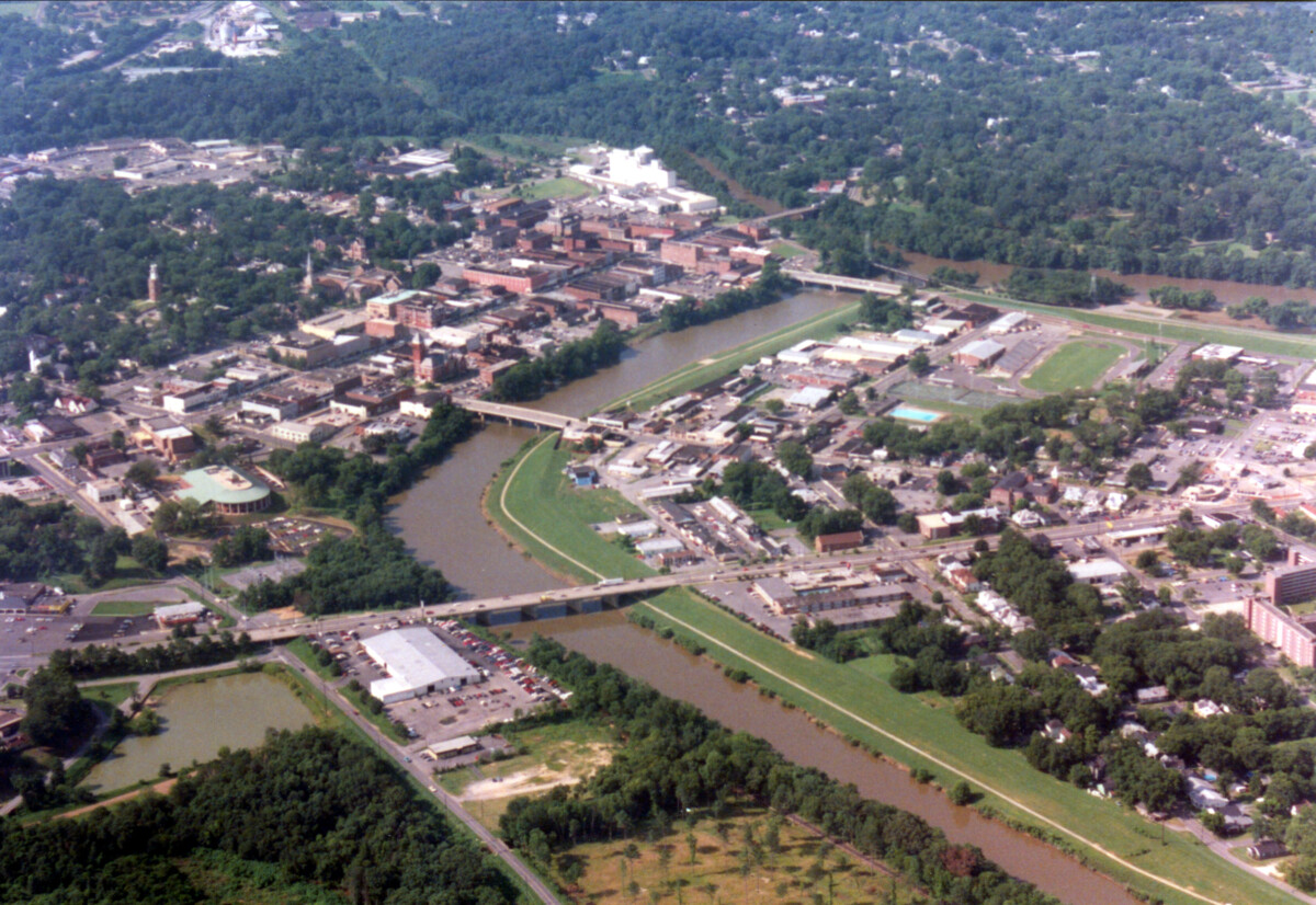
Image Source: John Lambert, CC BY-SA 3.0, via Wikimedia Commons

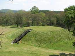
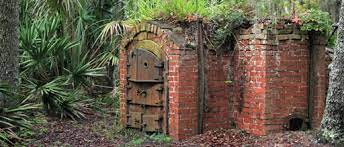
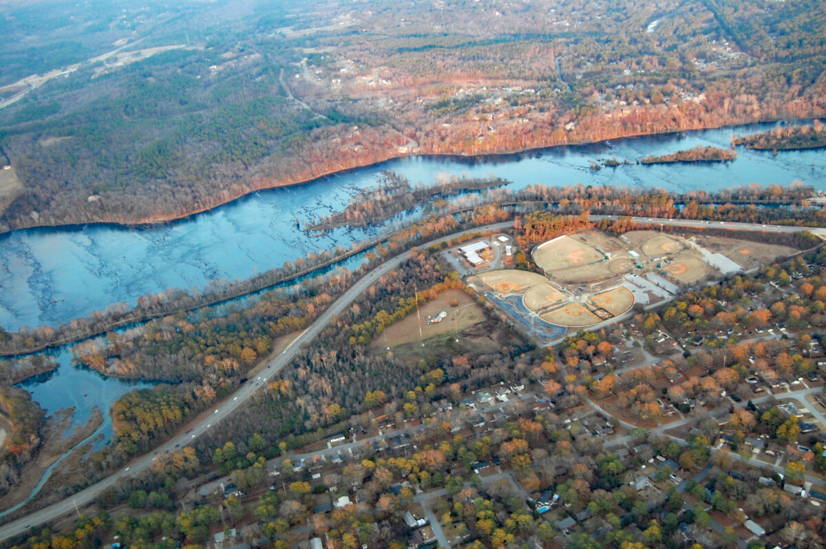
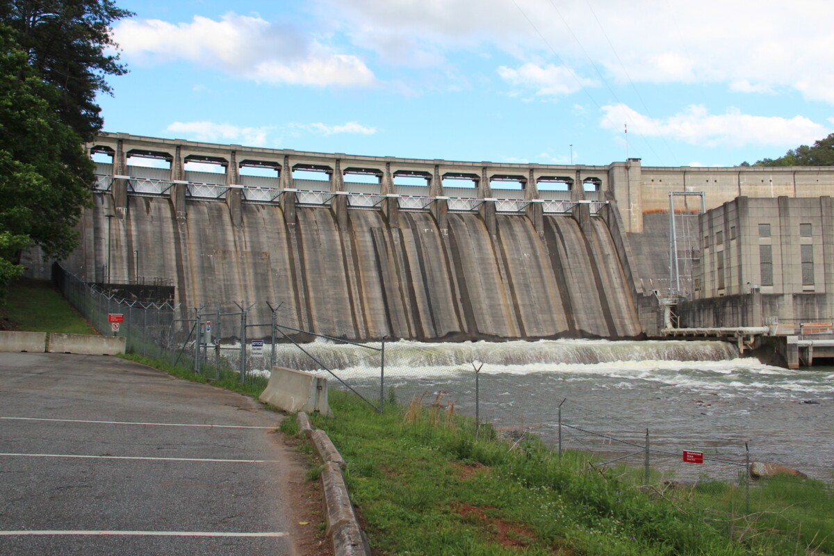
Due to issues with flooding, President Franklin D. Roosevelt passed the Flood Control Act of 1941 and Flood Control Act of 1946, which included building the Allatoona Dam in the Etowah River. An unfortunate consequence of this dam was that the town of Allatoona was flooded and became Allatoona Lake, and during droughts, remnants of the town can still be seen. However, in an assessment of the dam, it is believed to have prevented almost $80 million in flood damages.

The Allatoona Dam Image Source: Thomson M, CC BY 3.0, via Wikimedia Commons

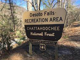
While the river passes through state wildlife management areas, the river also passes through or by several different towns such as Dahlonega, Cumming, and Cartersville. In 2004, a 20-mile section of the Etowah River was noted as impaired waters by the Clean Water Act with the nonpoint source of the pollution believed to be leaking residential septic tanks. While this particular nonpoint source of pollution has been addressed, other pollutants, particularly those associated with the maintenance of lawns and agricultural fields, are not as regulated. Etowah River is home to 76 native fish species but has already lost 15 fish species, mostly due to anthropogenic disturbances, such as water pollution.

Sources:

Barnes Jr., H. H. (1987). Roughness Characteristics of Natural Channels. United States Geological Survey. https://pubs.usgs.gov/wsp/wsp_1849/pdf/wsp_1849_a.pdf

Etowah River. (n.d.). Conserve, Protect, Educate. https://www.etowahriver.org/102-2/

Explore Georgia. (n.d.). Etowah River Water Trail. https://www.exploregeorgia.org/dahlonega/outdoors-nature/trails-tours/etowah-river-water-trail

Georgia River Network. (n.d.). Etowah River Water Trail. https://garivers.org/water-trails-and-paddling/etowah-river-water-trail/

Lake Allatoona. (n.d.). History of Lake Allatoona. https://lakeallatoona.com/about/history

United States Environmental Protection Agency. (2013). Nonpoint Source Program Success Story: Reducing Bacteria in Nonpoint Source Runoff Restores the Etowah River. https://www.epa.gov/sites/default/files/2015-10/documents/ga_etowah-3.pdf

Desoto Falls

Lower Desoto Falls Image Source: Fredlyfish4 – Own work, CC BY-SA 4.0, via Wikimedia Commons
Upper Desoto Falls Image Source: Fredlyfish4 – Own work, CC BY-SA 4.0, via Wikimedia Commons

Located within the Chattahoochee National Forest, Desoto Falls has three different sections of falls, all part of a stream that feeds into Frogtown Creek. The Upper Falls is an approximately 200-foot drop, the Middle Falls 90-foot, and the Lower Falls 35-feet. The falls are accessible to the public, with the hike being less than a mile. In addition to hiking, tourists can also camp at the Desoto Falls Recreation Area and fish in Frogtown Creek. Due to being part of the Chattahoochee National Forest, Desoto Falls has been minimally impacted by humans and urban development, as the area is protected from urban development and maintained by the park service.

Image Source: ChattOconeeNF, CC BY 2.0, via Flickr

Running through the Chattahoochee National Forest are the Blue Ridge Mountains, part of the Appalachian Mountain Range, which is the landscape that the Desoto Falls runs through. Likely created during the formation of Pangea, when the northern part of the African continent collided with the eastern part of the North American continent, the Appalachian Mountain Range is primarily composed of igneous and metamorphic rock. The Desoto Falls were created when water running from the top of the mountains, along with the sediment it was carrying, eroded away at the softer rocks, leaving behind sections of harder granite. Erosion is still occurring today, just at a much slower rate, as the exposed granite is more resistant to erosion than the rock that used to reside above it.

Sources:

Explore Georgia. (n.d.). Desoto Falls and Desoto Falls Recreational Area. https://www.exploregeorgia.org/dahlonega/outdoors-nature/camping/desoto-falls-and-desoto-falls-recreational-area

National Park Service. (n.d.). Convergent Plate Boundaries – Collisional Mountain Ranges. https://www.nps.gov/subjects/geology/plate-tectonics-collisional-mountain-ranges.htm

Recreation.gov. (n.d.). Desoto Falls Recreation Area. https://www.recreation.gov/camping/campgrounds/240242?tab=info

United States Department of Agriculture Forest Service. (n.d.). Desoto Falls Recreation Area. https://www.fs.usda.gov/recarea/conf/recarea/?recid=10524

Etowah Mounds

Image Source: Kåre Thor Olsen – Own work, CC BY-SA 3.0, via Wikimedia Commons

Located along the Etowah River, three large mounds and at least six smaller mounds, known as the Etowah Mounds, are remnants of a Native American settlement, dating all the way back to approximately 1000 CE. As only a small portion of the mounds have been excavated, little is known about the original inhabitants and builders of the settlement, though they are believed to be ancestors of the Muscogee-Creek and Cherokee Native Americans, who later settled into the land until forcibly removed by President Andrew Jackson in the 1830s. Based on the small excavation done, it is believed that Mound A was where the chief lived, Mound B was for religious ceremonies, and Mound C was the nobility burial site. In addition to the mounds, a moat was built on three sides of the settlement, with the Etowah River functioning as the 4th boundary. While other mounds in the area have been destroyed due to farming and road construction or are not as prominent as they once were due to erosion and flooding, the Etowah Indian Mounds are some of the most intact mounds in the southeast of the Mississippian culture and are considered a National Historic Landmark.

Excavation at Etowah Mounds (Melinda Young Stuart, CC BY_NC_ND 2.0, via Flickr)

Due to its proximity to the Etowah River, this location was likely chosen for ease of access to water. However, this likely had the consequence of the settlement being flooded both seasonally and during times of heavy rain. To prevent some of their settlement structures from being flooded, while still having easy access to water and the fertile soil around the river for farming, the mounds were likely built as platforms for some of the settlement. To build the mounds, the Native Americans used soil from the boundary of the settlement, which resulted in a moat around the settlement when it flooded, which functioned as a hinderance to enemies. The mounds were also a tactical benefit, as it allowed for the Native Americans to have a greater view of the area.

Proposed Etowah Settlement (Herb Roe – Own work, CC BY-SA 4.0, via Wikimedia Commons)

Sources:

Etowah Valley Historical Society. (n.d.) Native American. https://evhsonline.org/native-american

Larson, L. (2002). Etowah Mounds. In New Georgia Encyclopedia.  https://www.georgiaencyclopedia.org/articles/history-archaeology/etowah-mounds/

Mark, J. J. (2021). Etowah Mounds. In World History Encyclopedia. https://www.worldhistory.org/Etowah_Mounds/

Currahee Mountain

Image Source: Authority12345 – Own work, CC BY-SA 4.0, via Wikimedia Commons

Part of the Blue Ridge Chain of the Appalachian Mountains, Currahee Mountain stands 800 feet above the surrounding area and has deep roots in American history. Not only was it the battle site for Battle of Narrows, also known as Battle of Currahee, where Confederate troops defeated Union troops during the Civil War, but the mountain also served as part of the training grounds during World War II for the American Paratroopers stationed at Camp Toccoa. Today, the mountain struggles with vandalism, especially graffiti, at the lookout points, but concerned citizens have been holding cleanups to restore the mountain.  

Likely starting to form in the Proterozoic Era, Currahee Mountain is the result of the northern part of the African Continent colliding with the eastern part of the North American Continent when Pangea was forming. Primarily composed of igneous and metamorphic rock, it is believed that up to fifteen miles of rock from the Appalachians has eroded away. However, Currahee Mountain does not face problems with large-scale erosion, and no current erosion prevention programs are in place. A disturbance to the natural habitat on Currahee Mountain is the placement of communication towers on the top of the mountain. The companies placing the towers promised to not disturb the rare species during installation, however, construction of the towers did result in the disturbance of common species.

Sources:

Camp Toccoa at Currahee. (n.d.). History of Camp Toccoa. https://www.camptoccoaatcurrahee.org/history-of-camp-toccoa

Explore Georgia. (n.d.). Currahee Mountain. https://www.exploregeorgia.org/toccoa/outdoors-nature/trails-tours/currahee-mountain

National Park Service. (n.d.). Convergent Plate Boundaries – Collisional Mountain Ranges. https://www.nps.gov/subjects/geology/plate-tectonics-collisional-mountain-ranges.htm

Blackbeard Island

Image Source: U.S. Fish and Wildlife Service

Blackbeard Island is one of the uninhabited barrier islands located along the Georgia Coastline. Likely given its name due to the famous pirate Edward “Blackbeard” Teach, Blackbeard Island was bought by the Navy Department in 1800 as a source of oak for their ships. While currently uninhabited, the island used to be a quarantine station from 1880 to 1910 before the vaccination for Yellow Fever became available. Today, the island is a National Wildlife Refuge, overseen by the U.S. Fish & Wildlife Service, with maritime forest, salt and freshwater marshes, and a beach habitat being preserved. The island is open to visitors, but only by personal or charter boats, and provides activities such as hiking, fishing, and birdwatching.

The crematorium is the last remaining structure from the quarantine station
Image Source: U.S. Fish and Wildlife Service

Blackbeard Island likely formed during either the Pleistocene or Holocene Epoch, due to several cycles of glacial melting and freezing. As the sea level rose and fell as the glaciers melted and refroze, sediment was deposited on sand dunes that were above sea level. There is a possibility that river sedimentation also aided in the formation of Blackbeard Island, as the rivers often produced mud for the formation of salt marshes, which are found on Blackbeard Island. Just like most islands and coasts, Blackbeard Island is threatened today by rising sea levels. While ocean currents are slowly eroding away at Blackbeard Island, larger storms, such as hurricanes have an extreme impact on the erosion of the island. As a lot of the island is composed of sand, these larger storms easily erode or manipulate the island. After Hurricane Irma, a new island was formed from Blackbeard Island, now known as Little Blackbeard Island.

Sources:

Berson, S. (2018, January 29). Hurricane Irma created a whole new island off the Georgia coast. Ledger-Enquirer. https://www.ledger-enquirer.com/news/state/georgia/article197172749.html

Olsen, M. (n.d.). Georgia’s Barrier Islands. Georgia Department of Natural Resources – Coastal Resources Division. https://coastalgadnr.org/georgia-barrier-islands

Sullivan, B. (2003). Blackbeard Island. In New Georgia Encyclopedia. https://www.georgiaencyclopedia.org/articles/geography-environment/blackbeard-island/

U.S. Fish & Wildlife Service. (2015, May 26). Blackbeard Island – About the Refuge. https://www.fws.gov/refuge/Blackbeard_Island/about.html

Wilderness Connect. (n.d.). Blackbeard Island Wilderness. https://wilderness.net/visit-wilderness/?ID=60


Augusta Canal

Image Source: Debs, CC BY 2.0, via Wikimedia Commons

The Augusta Canal is a roughly 13-mile canal, with the first level starting at the Headgates at Savannah Rapids Park, and the second and third level flowing through downtown Augusta, eventually flowing into the Savannah River and Beaver Dam Creek. Due to its location between the Piedmont plateau and the Fall Line, the Canal uses the natural drop in elevation, rather than manmade drops.

The Augusta Canal was built in 1845 for the purpose of providing power, water, and transportation. Throughout history, many different mills and factories lined the canal, which aided in an industrial boom in Augusta. Today, it is the only industrial canal in the South that is being continuously used, mainly in the form of hydroelectricity plants generating electric power, and is still a major source of Augusta’s drinking water. The Canal has also become a historical and recreational area, as many of the buildings from the 19th century are still along its banks, the Canal’s first level is accessible to kayaks and paddleboats, and boat tours are available to the general public.

A tour along the Augusta Canal with an abandoned factory in the background
Image Source: Sregor54 – Own work, CC BY-SA 4.0, via Wikimedia Commons

Around the 20th century, the Canal and Augusta were struggling with periodic flooding. To mitigate the impact that the Canal was having on the flooding, the Canal’s banks were raised, a spillway was built, and the Canal was straightened. Though the Augusta Canal is manmade, spots along the bank have begun to return to their natural state. Additionally, with its placement near the Fall Line, a wetland has formed between the Canal and the Savannah River rapids that has become a wildlife refuge. However, in the second and third levels, there tends to be debris that gets trapped in the manmade obstructions and fewer spots where the bank has begun to return to its natural state.

Sources:

Augusta Canal National Heritage Area. (n.d.). The Augusta Canal – Rich in History. https://augustacanal.com/about-history.php

Augusta Canal National Heritage Area. (n.d.). The Canal – History, Geography, Environment. https://augustacanal.com/about-overview.php

Georgia River Network. (n.d.). Water Trails & Paddling – The Augusta Canal. https://garivers.org/water-trails-and-paddling/augusta-canal/

National Park Service. (n.d.). Augusta Canal National Heritage Area. https://www.nps.gov/places/augusta-canal-national-heritage-area.htm