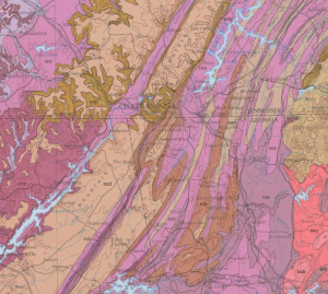
The formation of Cloudland Canyon follows the same principles as those that governed the creation of the entire Ridge and Valley region, stretching from Alabama to the very northeast of the United States. During the Appalachian mountain building throughout the Carboniferous and Permian periods, also called the Alleghenian orogeny, the area that makes up the ridge and valley region had layers of alternating hard and soft sedimentary rock.
These layers of sediment were deposited when the Iapetus Ocean flooded North America during the Paleozoic Era. At this time the North American continent was far closer to the equator so shallow marine environments were more common, hence the amount of limestone and shales presents.
As erosion began to shape the landscape, the hard layers of sandstone or chert resisted, while the soft areas of shale or limestone eroded more easily. This process slowly developed into the ridges and valleys we see today and greatly influenced the soil composition of the two. The process is ongoing but is exceedingly slow. Such large valley and ridges have been created because it started 200 million years ago.
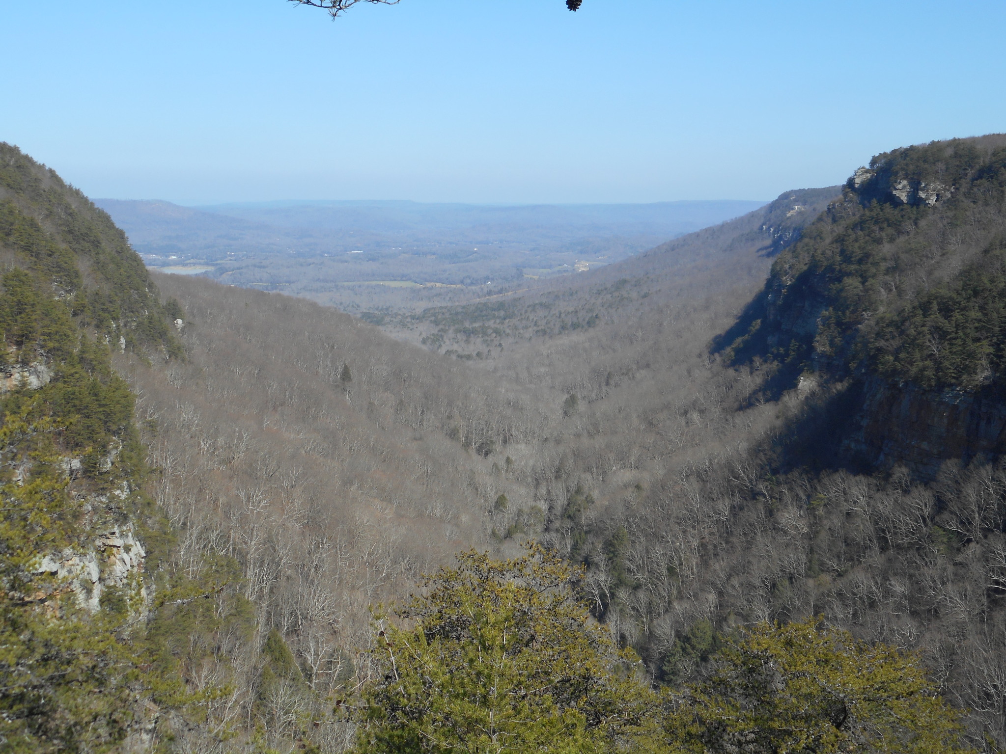
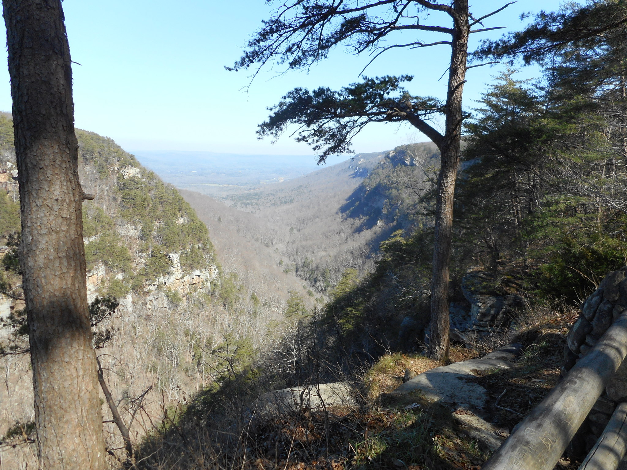
The types of sedimentary rocks also greatly influenced the types of soils they produced as erosion took effect. On the ridges, slightly acidic soils supported tree growth while the valleys collected more fertile soils that would one day attract farmers to the region. These characteristics created both the geologic and human features we see today.
Authored by: Simon Swart
Works Cited:
Chowns, Timothy. Valley and Ridge Geologic Province. New Georgia Encyclopedia. 04 July 2006. Web. 14 Feb. 2016.
Miller, R.A., Maher, S.W., Copeland, Jr., C.W., Rheams, K.F., Neathery, T.L., Gilliland, W.A., Friddell, M.S., Van Nostrand, A.K., Wheeler, W.H., Holbrook, D.F., and Bush, W.V., State compilations, Richmond, G.M., and Fullerton, D.S., eds., 1988, Quaternary geologic map of the Lookout Mountain 4° x 6° quadrangle, United States: U.S. Geological Survey Miscellaneous Investigations Series Map I–1420 (NI–16), scale 1:1,000,000 [Bush, C.A., Digital edition, 2013], http://pubs.usgs.gov/imap/i-1420/ni-16/.