Chattahoochee River

By Mike Gonzalez (TheCoffee) – Own work, CC BY-SA 3.0, https://commons.wikimedia.org/w/index.php?curid=2807820

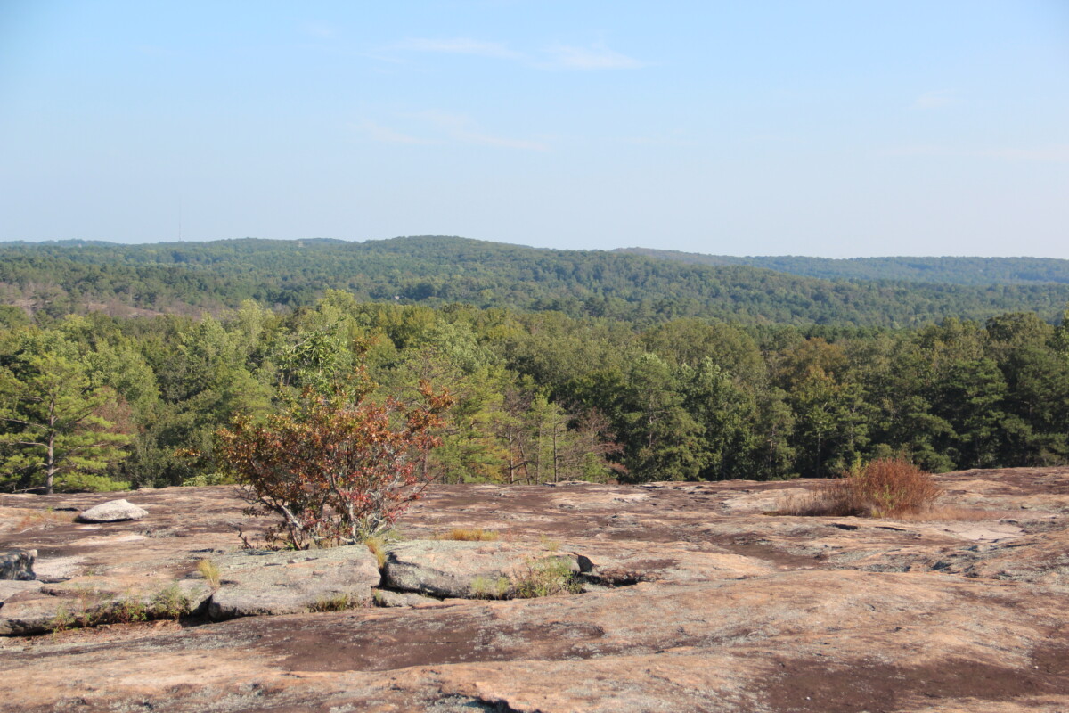
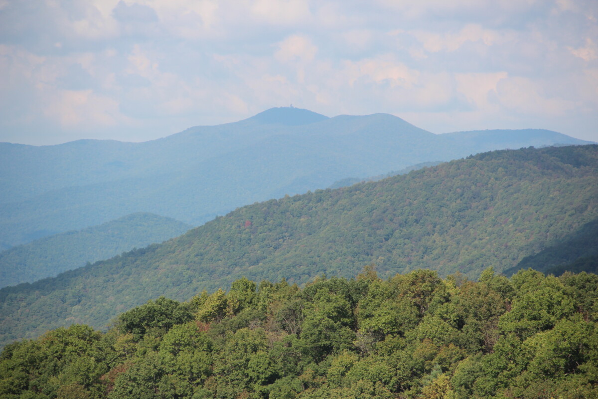
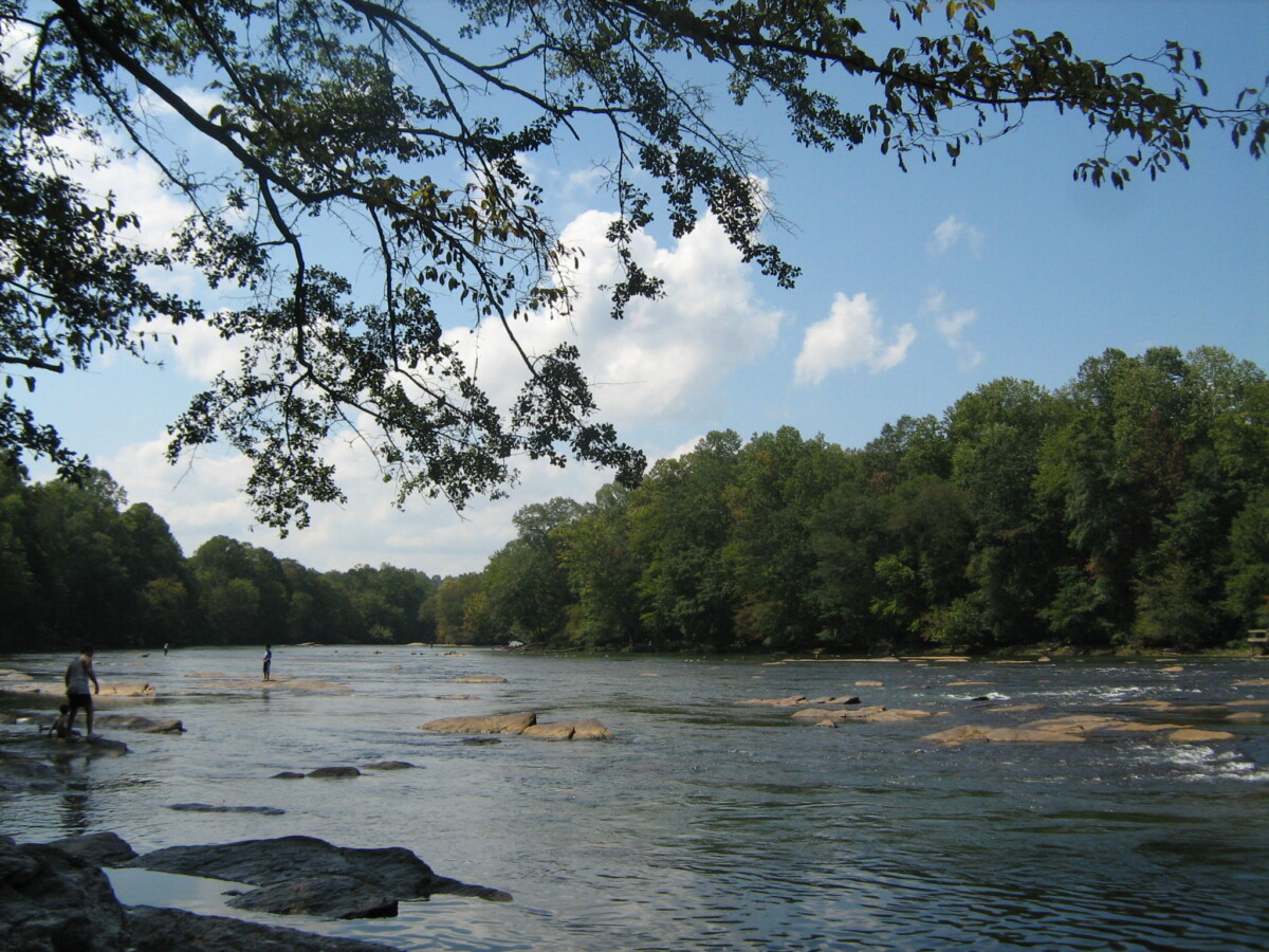
Originating in the Blue Ridge physiographic province, the Chattahoochee River flows through the Piedmont and the Atlanta metropolitan area into the Coastal Plain, where it joins the Flint River to form the Apalachicola River, then flowing into the Gulf of Mexico. The river runs along the Brevard Fault. The stream has numerous impoundments, perhaps the most significant of which is the Buford Dam, north of Atlanta, which creates Lake Lanier. Between Lake Lanier and metro-Atlanta, various patches of natural areas along the Chattahoochee have been preserved in the Chattahoochee River National Recreation Area (CRNRA), administered by the National Parks Service. These areas, along with the river itself, are important for recreation in the area. The river is a major source of drinking water for the City of Atlanta. However, it is also heavily impacted by urbanization and pollution. One significant issue that it faces are the sewer lines running along it and its tributaries, which occasionally spill raw sewage into the water.

Chattahoochee Riverkeeper. (n.d.). Our River.
Georgia River Network. (n.d.). Chattahoochee River.

Arabia Mountain

By Thomson200 – Own work, CC0, https://commons.wikimedia.org/w/index.php?curid=62190412


Located in the Piedmont physiographic province, Arabia Mountain is a granite outcrop composed of Lithonia gneiss. These outcrops were originally intrusive plutons which formed deep underground as molten rock cooled. Over millions of years, the rock overlying these plutons has weathered away, eventually revealing these stone structures. The barren nature of this and other outcrops results in a very unique plant community. Plants are primarily able to grow in areas where the rock has weathered and left pockets of grave. Species such as elf orpine (Diamorpha smallii) and Stone Mountain daisies (Helianthus porteri) are specially adapted to these pockets of shallow soil, which gradually become deeper as they weather and organic matter becomes deposited in them. Arabia Mountain is protected within the Davidson-Arabia Mountain Nature Preserve and the Arabia Mountain National Heritage Area, and is often visited by hikers. The area was previously a part of a quarry, and some remains, such as places where spikes were used to split granite, still remain on the mountain.

Davidson-Arabia Mountain Nature Preserve. (n.d.). . https://arabiaalliance.org/places-to-see/davidson-arabia-mountain-nature-preserve/.

Edwards, L., J. Ambrose, and L. K. Kirkman. 2013. The Natural Communities of Georgia. University of Georgia Press, Athens, GA.

Brasstown Bald

By Thomson200 – Own work, CC0, https://commons.wikimedia.org/w/index.php?curid=73615350


Standing at 4,784 feet, Brasstown Bald is the highest mountain in Georgia (Edwards et al. 2013). It is located within the Blue Ridge physiographic province, in an area where the bedrock is heavily folded and faulted, with mafic and ultramafic rocks present in a ring around the mountain. Some of the forests on Brasstown Bald are considered “boulderfield forests,” meaning that they grow over large boulders on slopes at high elevations. The Cherokee people resided in the area around Brasstown Bald prior to European colonization. Known to them as “Enotah,” the mountain is central to a legend in which the earth was overtaken by a massive flood, and Brasstown Bald is where people were able to find refuge in a canoe; it is said that the trees at the top of the mountain were killed off by the Great Spirit in order to facilitate agriculture. In more recent times, the height of the mountain has transformed it into a tourist attraction, with a shuttle bringing people to the top for a small price. It is located within the Chattahoochee-Oconee National Forest, and is managed by the US Forest Service.

By Thomson200 – Own work, CC0, https://commons.wikimedia.org/w/index.php?curid=73615350

Edwards, L., J. Ambrose, and L. K. Kirkman. 2013. The Natural Communities of Georgia. University of Georgia Press.

Georgia Historical Society. 2016, January 20. Brasstown Bald.

Sundstrom, K. 2016. Explore Georgia’s highest peak at Brasstown Bald. The Atlanta Journal-Constitution.


Grand Bay Wetland

By LittleT889 – Own work, CC BY-SA 4.0, https://commons.wikimedia.org/w/index.php?curid=77530711


Grand Bay Wetland is located in the Coastal Plain physiographic province near the border with Florida. This wetland is the second-largest swamp in the state (the first is the Okefenokee), and is home to longleaf pine forests, cypress swamps, savannahs, and more. Longleaf pine systems are in decline throughout most of their range due to their dependence on fires. This wetland is one of four Carolina bays known to occur in Georgia. Carolina Bays are oval-shaped peat wetlands that occur in the Atlantic Coastal Plain. They are thought to have formed as Pleistocene-age lakes slowly dried out or sedimented in, and now support unique, fire-tolerant wetland communities throughout their range. Historically, this area’s cypress trees were logged and transported using a rail line. Ranchers also used to graze cattle here. However, significant ecological restoration has taken place here more recently.

Hiers, J. T. (2005). Grand Bay Wetland Education Center. In New Georgia Encyclopedia. Retrieved May 31, 2016, from https://www.georgiaencyclopedia.org/articles/geography-environment/grand-bay-wetland-education-center/

South Carolina Department of Natural Resources. (n.d.). Carolina Bays. https://www.dnr.sc.gov/geology/carolina-bays.html.